2013 Top 10 Geological Survey Progresses
Top8. Digital geological maps on medium-scale offered open service
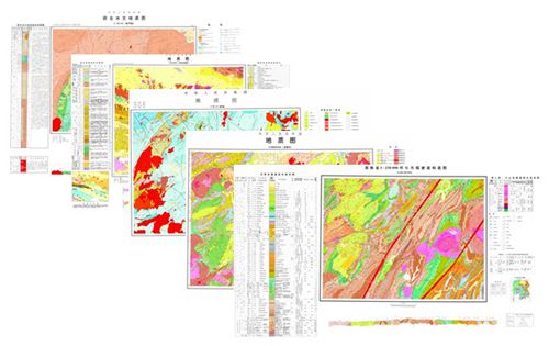
More geological data service was provided in 2013, having made important progress in the processing and service of secret-scale digital geological maps. Completed the production of public digital production of 3317 medium-scale regional survey and mapping results, which include a geological map on the scale of 1:200000 and report, a hydrogeological map on the scale of 1:200000 and report, a geological map on the scale of 1:250000 and report, a geological map on the scale of 1:500000, and a formation and structural map on the scale of 1:250000 in the mineral resource potential assessment result. After they are processed, these results were made into public data and provided for public use to the community. The way, content and procedure relating to the processing and public use of the secret-scale digital geological maps were also defined. Organized and developed a national geological archives digital core system, having published online 1021 special datasets, reports with 22407 attached drawings relating to base geological, mineral geological and HEE geological investigation results over the year. The data volume is over 3310GB.
The processed public geological map data retain the elemental precision of the geological maps and are not subject to confidentiality for either storage or use. They are highly welcomed by users. This solved the public service of secret-involved geological data on the Internet and windows, marking a major breakthrough in the provision of public service of secret-involved geological data.

Public service is provided by medium-scale digital geological maps


