


Golmud-Lhasa Railway Geological Survey
PROGRESS AND DISCOVERIES
The detailed survey on active faults and geological hazards at scale 1:2000 and in-situ stress measurements in the vicinity of long tunnels are finished, as well as the evaluation of stability of the crust at construction sites. Maps of active faults and geological hazards at scales 1:2000 and 1:100000 along the Golmud-Lhasa Railway have been provided. These lead to several important discoveries on present tectonic activity and the potential permafrost hazard in the central Tibetan Plateau.
Major Accomplishments
(1) Established new time scale for Quaternary stratigraphy for the Central Tibetan Plateau: A detailed geological survey of the Quaternary strata along the Golmud-Lhasa Railway, dated and chronological analyzed Quaternary lacustrine, fluvial, alluvial and glacial deposits, classified stages of Quaternary glaciation, studied Quaternary environment changes, and established new time scale for Quaternary geological events and active faulting.
(2) Mapped active faults and geological hazards along the Golmud-Lhasa Railway: Prepared maps of active faults and geological hazards along the Golmud-Lhasa Railway at scales of 1:2000 and 1:100000, ETM remote sensing images at scale 1:100000 and 1:1000000 scale maps indicating a ranking of the degree of active faults and crustal stability after a detail survey and comprehensive exploration.
(3) Investigated active faults along the Golmud-Lhasa Railway: Active faults were studied by detailed geological survey, interpretation of ETM remote sensing images, geophysical profiling, field trenching and chronological dating. These provided data on position, length, strike, offset, property, time, slip-rate and potential hazard to engineering construction for 114 active faults along the Railway.
(4) Analyzed time of offset and slip-rates of boundary active faults of grabens along the railway: Times, offsets, slip rates and seismic events of boundary active fault of Damxung-Yangbajain graben, Gulu-Sangxiong graben, Ando basin and Wenquan basin were studied by field mapping and chronological analyses. Four seismic events occurred along west boundary faults of Damxung-Yangbajain and Gulu-Sangxiong grabens each, and return-period for Ms 7.0-8.0 seismic events in Gulu-Sangxiong graben is estimated to be 1900±300a. Three seismic events were identified along west boundary fault of Wenquan graben. Surveys on seismic fractures and co-seismic offsets of the Yangbajain Ms 8.0 Earthquake that occurred in 1411 and the Jiuzila Ms 7.5 Earthquake of 1952 were also finished. Also much new data was accumulated on extensional faulting in general.
(5) Analyzed times of offset and slip-rates of active strike-slip faults: Many new active faults were identified along the Golmud-Lhasa Railway, and times of offset and slip-rates were analyzed by field mapping and chronological dating. Slip-rates of Xidatan, Hohxil and Bengco faults have ranges of 5.3-10.0mm/a, 3.0-7.0mm/a, 7.0-16.0mm/a respectively in Holocene. And Holocene average slip-rate of Xidatan and Bengco faults is 7.7mm/a and 11.5mm/a respectively. Seismic fractures and co-seismic displacements of the Ms 8.1 Kunlun Earthquake in 2001 and Ms 8.0 Bengco Earthquake in 1951 were surveyed at scale 1:2000, and paleo-seismic events also were identified along major strike-slip faults along the Golmud-Lhasa Railway.
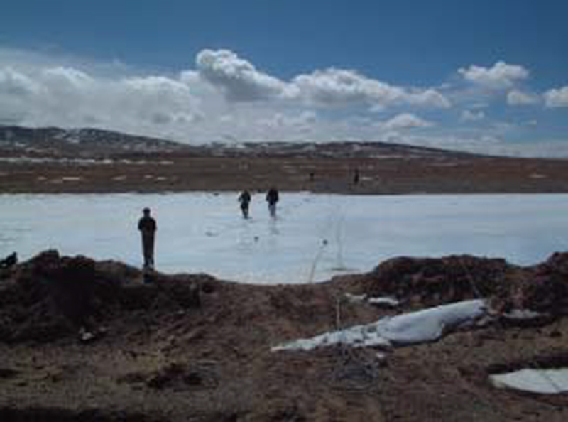
(6) Mapped pingos and determined their potential hazards to the railway along with other ground movements: Pingo, surface fracture, permafrost freezing deformation, landslide, mudflow and other potential hazards were systematically mapped at scale of 1:2000. More than 300 pingos, 24 surface fracture zones, 7 mudflows and 11 landslides were identified along the railway. Hazards caused by coupling of active fault and permafrost were analyzed for the railway as well (Wu et al., 2004).
(7) Measurement in-situ stress of long tunnels: In-situ stress was measured in long tunnels across the Kunlun Mts., Fenghuoshan Mts. and mountains in southeast Yangbajain by the pressure magnetism method, and in-situ stress was measured also in the Xueshuihe valley, Hohxil Mts. and Lhasa granite. This provided some key data for engineering design of the tunnels.
(8) Performed numerical modeling and assessment of tunnel stability: Mechanical parameters such as density, Poisson ratio, elastic modulus, shearing strength, extensional strength and compressional strength of major rocks of the tunnels were tested by experiment, and numerical modeling on stress fields of the tunnels of different shapes and variety of sections were calculated using the in-situ stress state and the tested mechanical parameters as constrains. This leads to reasonable assessments of engineering stability and available suggestions for design and construction of the tunnels.
(9) Assessed tectonic activity and degree of stability for engineering construction: Tectonic activity α and crustal stability β are two important functions for classification and selection of engineering sites, and α=1−β. Strength of present tectonic activity (αi) were evaluated by four available factors including slip rate of active fault (Vi), magnitude of earthquake (Mi), temperature of hotspring (Ti) and tectonic strain (εi) for any unit (i) in the Tibetan Plateau, where αi =(Vi/Vmax + Mi/Mmax +Ti/Tmax +εi/εmax)/αmax. It is proved that a tectonically active region with α≥0.40, i.e. unstable, may produce Ms≥6-7 earthquakes, and a very active tectonic region with α≥0.70, may produce Ms≥8 earthquakes. Seven unstable and three extremely unstable regions are identified along the Golmud-Lhasa railway.
(10) Utilized data on active faults, stress and geological hazards to play an important role for design of the Golmud-Lhasa Railway: The project submitted reports of in-situ stress measurement of tunnels, maps of active fault and geological hazards, and reports of active fault surveys and investigations of geological hazards to the First Academy of Railway Prospecting and Railway Design, the design agency of the Golmud-Lhasa Railway. The design agency adopted these data to improve their railway design, and took engineering measures to reduce and protect the railway from potential hazards discovered by the project.
Shallow depth seismic profiling across Zajia Zangbu River along the designed railway line in January, 2001
2. Important Discoveries
(1) New active faults were discovered in the south and north boundaries of Hohxil Mts., Erdaogou basin, Tongtianhe valley, Yanshiping and Tangula Mts. and Cuonahu Lake in mapping at 1:2000 scale along the Golmud-Lhasa Railway. New data on properties, offsets, times, slip-rates and seismic events along major extensional and strike-slip faults were collected for better understanding of the active tectonics of the Tibetan Plateau in order to improve and modify the railway design.
(2) Migrating pingos along fault zones in permafrost north Tibetan Plateau were discovered in Budongquan, Chuma’erhe River, Yama’erhe River and 83rd, 85th and 86th highway stations along the Golmud-Lhasa Railway. The formation, evolution, geodynamic causes and potential hazards of migrating pingos were analyzed after repeated surveys in summer and winter during 2001-2003 (Wu et al., 2005). Data on migrating pingos in 83rd, 85th and 86th highway stations were adopted by Golmud-Lhasa railway design agency for engineering measures to reduce their potential hazard to railway bridges.
(3) Stress changed before and after the Ms 8.1 Kunlun Earthquake in 2001. The project made in-situ stress measurement in north of the Kunlun tunnel and found that principle stress reached to 6.8-12.9MPa in August, 2001, several times higher than principle stress in western China. On November 14, 2001, the Ms 8.1 Kunlun Earthquake occurred. After the earthquake, repeated in-situ stress measurement in July, 2002 north of the Kunlun tunnel found that principle stress decreased to 2.2-3.5MPa, being 2-3 times lower than the principles stress before the earthquake (Liao et al., 2003). These data play an important role in understanding geodynamic processes of the Ms 8.1 Kunlun Earthquake, and for assessment of the stability of the railway across Kunlun Mts. and in the Kunlun tunnel.
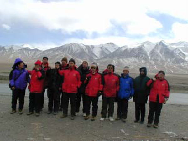
Dr. Wang Ming, now vice minister of MLR lead administrators of MLR, CGS and CAGS on a visit to field camps and exploration sites in the Kunlun Mts. before Spring Festival in early February, 2002